Air Photography and Photogrammetry
Air photography, photo-mosaics, and processed DEM products derived from them, is becoming main stream in Geoscience applications.
The range of uses include
- Project level detailed photos for land access and vegetation,
- Volume calculation, of stockpiled material,
- DEM’s for drillhole location control,
- DEM’s for ground water movement determination,
- DEM’s for accurate terrain corrections of Gravity surveys
- Promotional Video and Photography for marketing purposes.
Drone Geoscience utilises PPK post capture processing to enable accurate < 5cm accuracy on its photo products, and all of Drone Geoscience cameras utilise “Global” Shutters, rather than “Rolling” shutters.
We do this to reduce the distortion and increase accuracy, as shutters are related to how an image is captured by the camera.
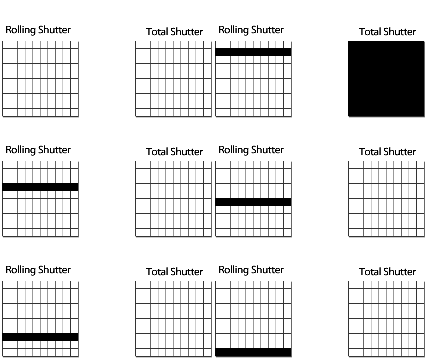
A Rolling shutter, progressively exposes the frame from top to bottom
A Global (aka Total) shutter, is either fully open or fully closed, thus exposing the entire frame at once for image capture.

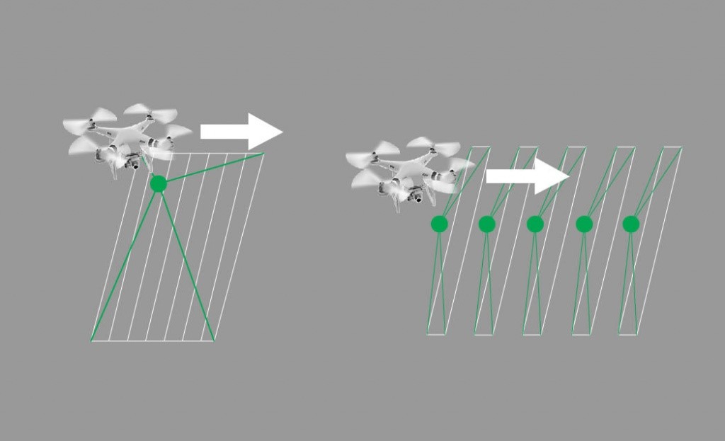
Given that we are taking photos from a moving platform, its equivalent to having an instantaneous snapshot, as against one captured progressively over a distance it takes to expose a full rolling shutter snapshot.
So how far does a drone travel during a rolling shutter snapshot, this depends on the Drone Camera, and the Speed of flight (but typically greater than 50cm).

The end result for Rolling shutter photos is a less accurate representation of where objects are on the ground, and a distortion when trying to edge match and stitch images together in a photomosaic.
The simple solution is to use cameras with Global shutter mechanisms when carrying out air photography and processing photography for ortho-photomosaics.
So how is a DEM created from the Drone Photography.
The process used to extract elevation values from optical images is called photogrammetry, and it was developed over a century ago to create topographic maps and later DEMs from overlapping aerial photographs. In manual photogrammetry, a technician views overlapping images called stereo pairs, which present the surface terrain three dimensionally to the photogrammetrist, allowing for direct measurement of elevation values of ground features.
Modern computing and digital image recognition has enabled this process to be automated, whilst the accuracy is significantly enhanced through the use of Post Processing Kinematic (PPK) GPS signals, and by use of Ground Control Points (GCP).
Important Terms in Drone Photography, and Photogrammetry
Ground Control Point (GCP): a point located accurately on the ground and visible in photographic images, used in processing to reduce location errors.
Ground Sampling Distance (GSD): typically measured in centimeters/pixel (Drone Geoscience GSD is typically less than 1.5cm/pixel), GSD is calculated by Camera Image size (Mega Pixels), and related to Camera Height
Digital Elevation Map (DEM): A digital elevation model (DEM) is a 3D representation of a terrain's surface, and often represented by a grid with elevation values, but can be via a point cloud, of X, Y, Z cells.
Drone Geoscience typically quotes on an area coverage (ie per Hectare) plus Mob/Demob basis.
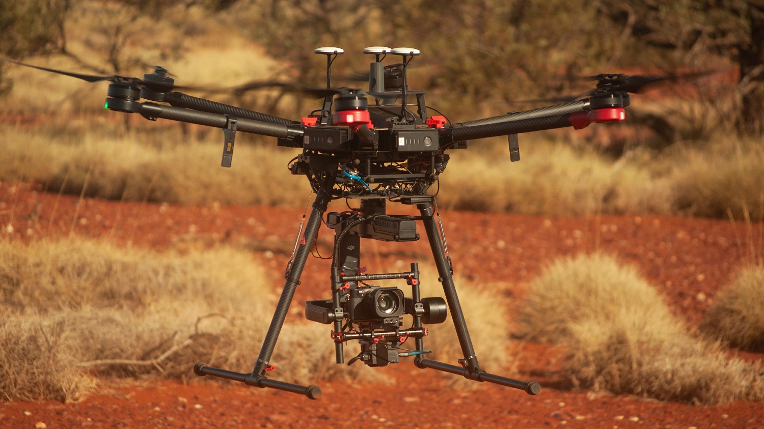
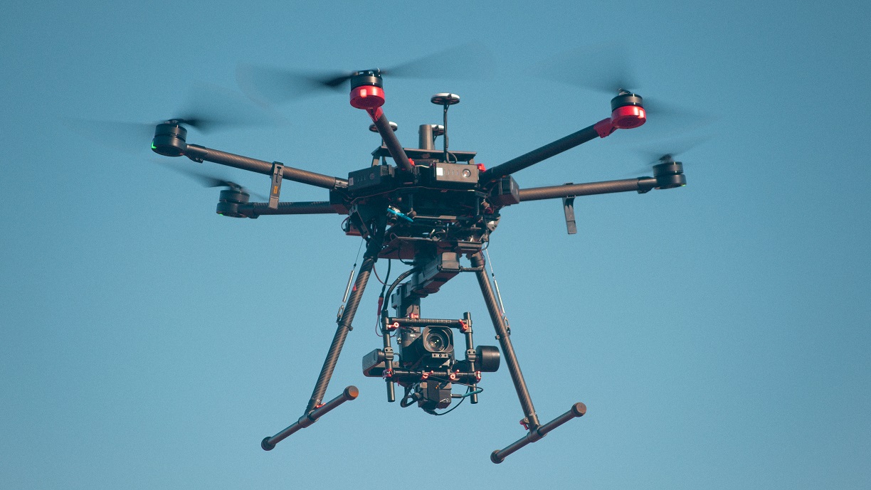
Our camera's are either the Sony RX1Rii (42.9 M pixel), on the Matrice 600 Pro, or the Phantom 4 Pro V2 (20 M pixel) for smaller applications.


