Magnetometer Surveys
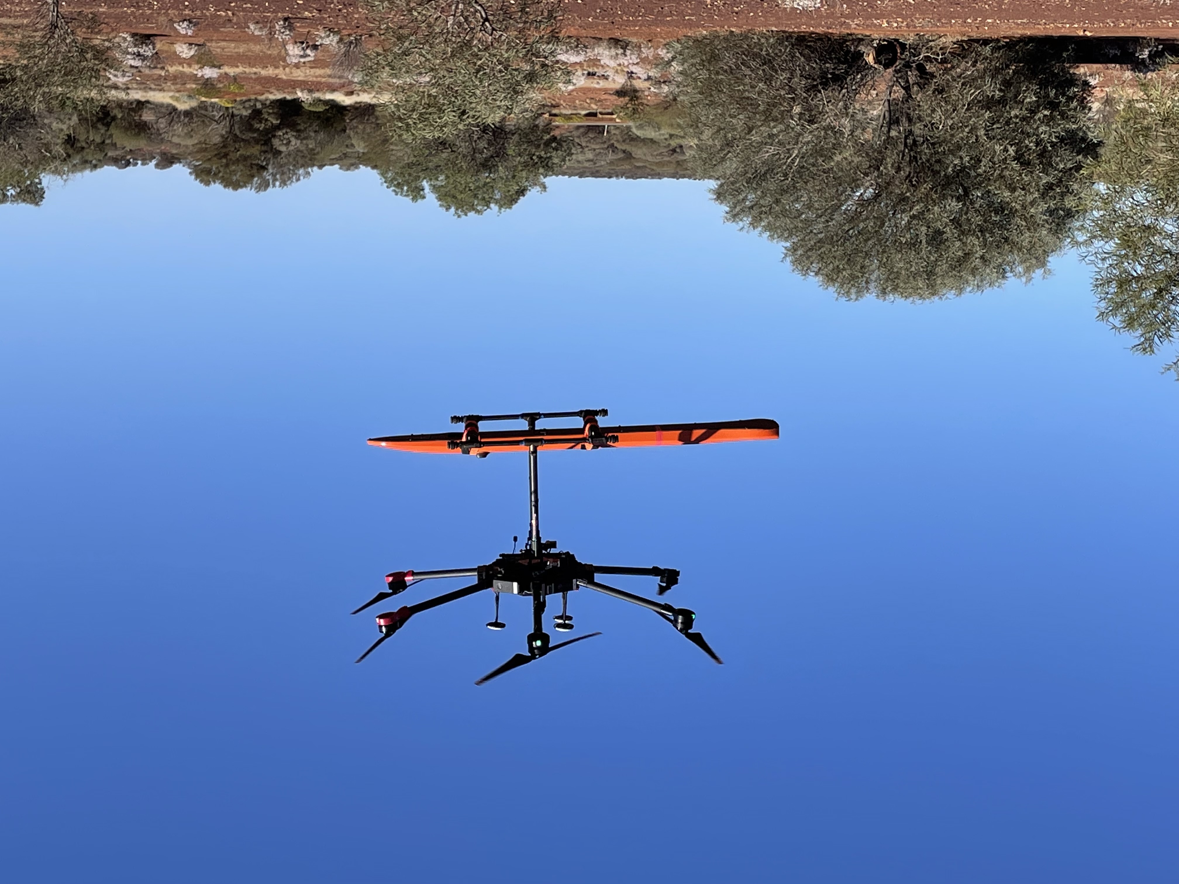
Drone Geoscience offers Drone Magnetometer surveys using a specifically designed UAV Magnetometer.
Magnetometer is our Custom UAV MFAM
- Operating Principle: Laser pumped cesium vapor (Cs133 non-radioactive) total field magnetometer
- Operating Range: 20,000 to 100,000 nT
- Gradient Tolerance: 10,000nT/m
- Noise/Sensitivity: 0.005nT/ Hz rms typical
- Sample Rate: 1000 Hz. synchronized to GPS 1PPS
- Bandwidth: 400Hz
- Heading Error: ± 5 nT (heading error can be effectively reduced to sub 0.1nT by compensation pre flight calibrations)
Typical Survey Characteristics
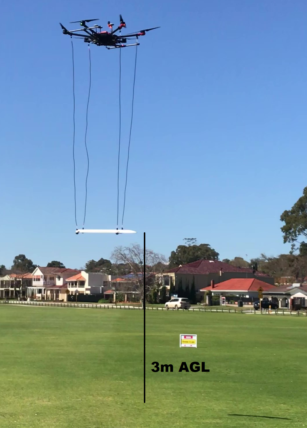
- Radar controlled flight elevation (ie Terrain Hugging) from 2 meters AGL to 80m AGL
- Flight Line separation (as specified by customer)
- Quotation is on per line km basis, plus Mob/Demob
- PPK flight line accuracy for flights above 10m AGL
- RTK flight line accuracy for flights below 10m AGL
Typical Uses
- Inaccessible Terrain: Difficult or dangerous terrain is our speciality, making it perfect for surveying wetlands, heavily vegetated areas, extreme terrain, or protected lands.
- Geology: Survey for lithology derived variations in the magnetic field, lower and faster than previously considered possible.
- Environmental: Find abandoned wells, pipes, and storage tanks quickly and with precise positioning.
- UXO Detection: The combination of the laser controlled flight elevation and rapid sampling (1000Hz) is the perfect tool to survey sites for detection and delineation of UXO.
- Archaeology: Survey vast distances and leave potential archaeology sites undisturbed.


