Services Available
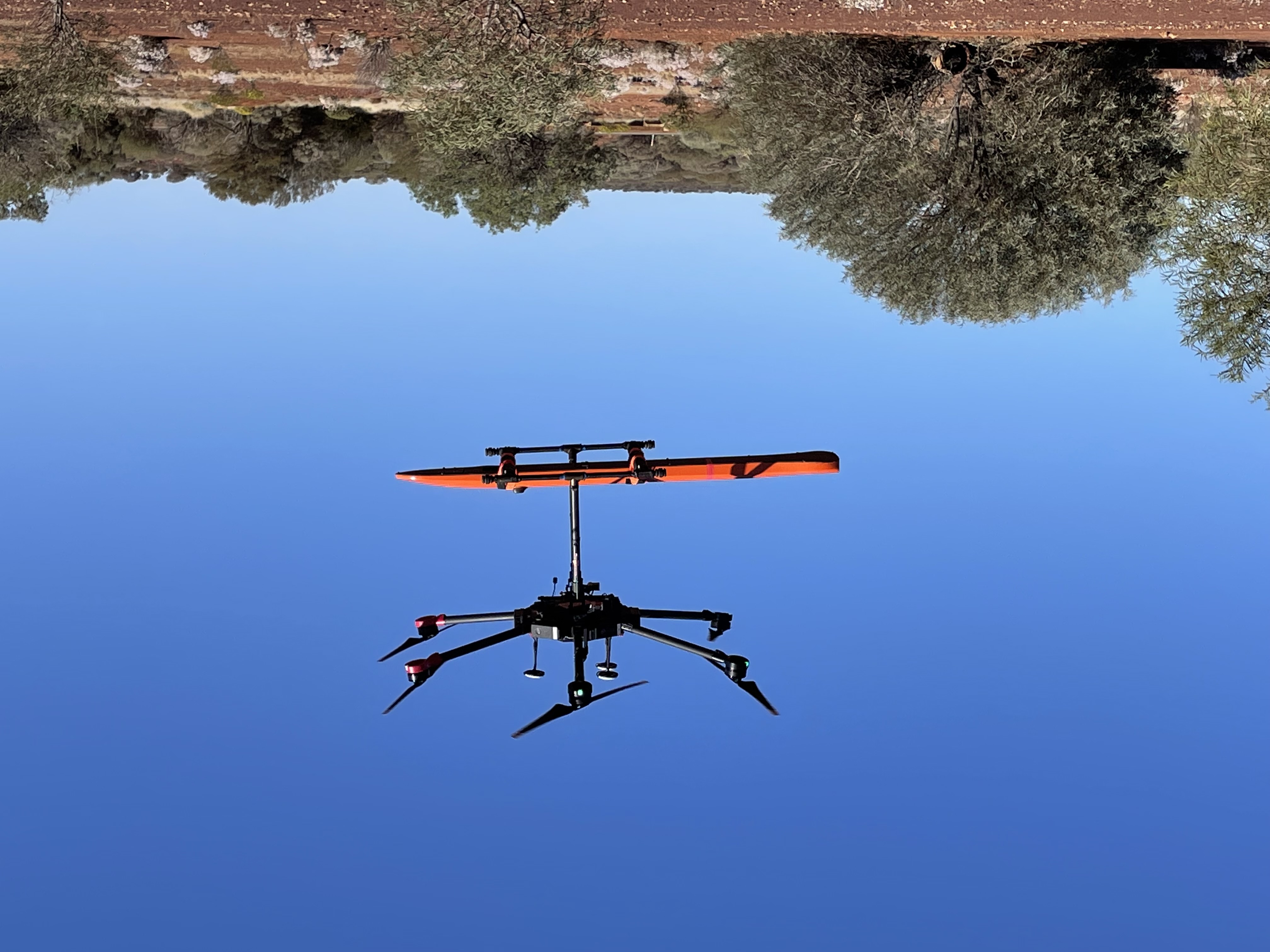
Our bread and butter services, are the Aerial Photography, Photogrammetry and Drone Magnetometer surveys.
However we also cater for the following
- Lost your G.E.T, and its in the stockpile somewhere, we know how to find it!, before it blocks, jams or damages the crusher.
- Lidar Surveys
- Volume calculation, of stockpiled material incorporating GPR, and DEM from Photogrammetry.
Contact Us, if you would like a quote on a survey, or want to do something not covered above.
All our pilots are CASA Licensed RePL holders, and Drone Geoscience holds a CASA ReOC (Commercial Operation License).
Frequently Asked Questions
Terrain Hugging Surveys?
Terrain Hugging is technology developed out of Military requirements, and allows a very-low-flying aircraft to automatically maintain a relatively constant altitude above ground level and therefore make detection by enemy radar more difficult. It is sometimes referred-to as ground hugging or terrain hugging flight.
Drone Geoscience has utilised this concept and integrated it into our multi-rotor UAV Drones to enable Terrain Hugging as the basis for our Drone Geoscience Surveys.
Why does Terrain Hugging make a difference?
Having a uniform and consistent height above ground level, significantly increases the quality and interpretability of Geoscience Surveys and specifically for Airphoto, DTM, LIDAR, Magnetic, Ground Penetrating Radar, Multispectral and UXO detection which rely on height as a major component of the processing and levelling of the data.
Drone Geoscience can carry out Terrain Hugging Geoscience surveys from 1m* to 100m above ground level and any nominated distance in between. (* depending on existing obstacles)
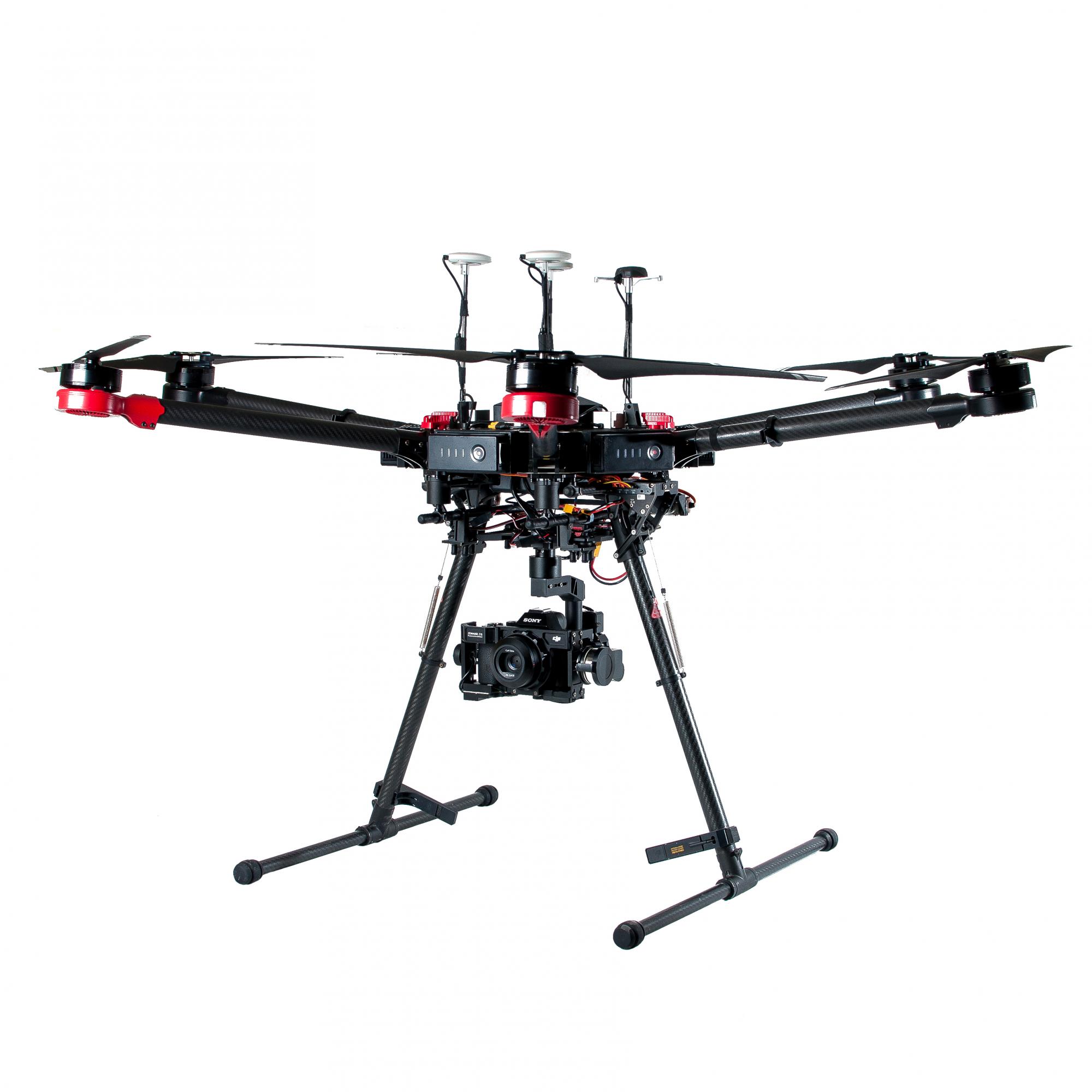
Our Terrain Hugging technology is complemented by enhanced location equipment utilising state of the art PPK/RTK technology.
Should Terrain Hugging be used for all surveys?
Not all surveys need or should be Terrain Hugging, in built up area’s where man-made structures exist, then rapid changes in distance to solid objects might cause the Terrain Hugging to vary rapidly (not ideal). In these scenario’s the survey should be planned based on the best available DTM (ie LIDAR or publicly available DTM). These surveys are termed Terrain Draped. Drone Geoscience can collect suitable DTM if the existing is not suitable for planning a Terrain Draped survey (ie hilly terrain with only SRTM available with a foot print of 30m).
Why we use DC Electric power sources for our UAV Drones?
We are passionate about getting the best quality data which enables quality interpretation for our clients. DC Electric power sources have less inherent magnetic noise, less sensor/payload vibration, lower noise pollution, and less likely to start a fire in the event of an uncontrolled landing!
DC Electric sources can also be used in remote community areas where petrol fuel sources have been banned due to substance abuse.


